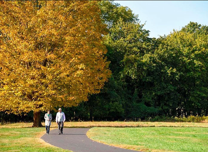
NEW JERSEY – At the beginning of November, many towns across the state enjoyed some not-so-much fall weather. Sweater weather was nowhere to be seen as the state had a consecutive six days in a row of warm weather reaching 70 degrees or higher.
This odd warm weather in the month of November has set records, with this weather being unusual during this time for the state of New Jersey. Rutgers University – New Brunswick Climatologist David A. Robinson discussed how this weather is uncommon for the state.
“Temperatures around many parts of the state were 70 degrees or higher. Six consecutive days in November with temperatures above 70, and mind you temperatures this time of the year should be in the mid to upper 50s,” Robinson stated. “Four days of consecutive record highs are also unusual, it’s extremely unusual for a weather station with 110 years of records.”
Robinson, who is a New Jersey State Climatologist and a Distinguished Professor in the Department of Geography in the School of Arts and Sciences, further explained why New Jersey has been having contrasting weather this year.
“We’ve had a very active weather pattern across the United States for the last month and sometimes the system gets into overdrive or high gear. With that you get a lot of extremes, and the extremes aren’t necessarily just in New Jersey, or the Mid-Atlantic, you find them from coast to coast,” he said. “Warm air where warm air shouldn’t be, cold air where cold air shouldn’t be, early season snow, the number of tropical systems that have impacted the gulf states and the east coast, all of those together are indicative of very active weather patterns and stands to reason Jersey is going to feel the effect from time to time. That’s the way the weather patterns operate sometimes.”
Robinson further explained how you can’t necessarily pinpoint a specific month or week of warm weather that you can attribute to the general question of climate change.
“When it comes to the warmth, New Jersey continues to warm and that doesn’t mean every day, every month, every year is warmer than the previous one, but your odds increase for setting record highs as opposed to setting record lows,” Robinson said. “For having four days in a row with record highs instead of maybe two days in a row of record highs is increasing our odds. So when we get these warm spells, we’re already on a higher playing level than we were previously so any additional warmth increases the odds of setting a record. So while you can’t say this particular day or this particular week of warmth is due to climate change, you can say it’s indicative of what we’re seeing not only in New Jersey, but throughout the nation and across the globe.
“Frankly, it’s becoming less disputable – global warming. The numbers the surveys show, while there’s skeptics that remain out there, it is becoming better understood that we are warming the planet and with that many associated changes,” Robinson said. “The fact is even with a warmer world it’s going to get cold from time to time and sometimes that’s a function of these very active weather patterns where things get displaced. Generally (in October) despite getting cold near the end, it was in the top 20 for warmth going back 126 years. This is statewide, and this year I think we’ve had five months in the top 10, 10 out of 126 years, but we still can have some cold weather and last month when we were moderately warm, they set record low temperatures in the Northern Plains down in the Rockies. There seems to be a seesaw pattern, cold in the west, warm in the east, cold in the east, warm in the west, it all has to do with the flow of the jet stream.”

With the recent warm weather the state has been having, it’s questionable whether parts of New Jersey will have a heavy snowfall or not this year. In the past couple of years, Ocean and Monmouth County received little to no snow during its winter months. So how much snowfall should we expect this winter? Robinson explained how mild or heavy snowfall depends upon the flow of the jet stream.
“Last winter was the least snowy winter since records began in 1895 in Southern New Jersey from roughly Monmouth/Mercer County. That southern half of the state had less snow last winter than any of the prior years,” Robinson stated. “This winter however, there are indications that this winter will be on the mild to relatively snow-free side. The “La Niña” event in the tropical pacific, an ocean to atmosphere phenomenon, generates the jet stream pattern where storms go up through the Great Lakes and puts us on the milder side of storms. Looking at past records in New Jersey, La Niña winters tend to be milder and less snowy. So the odds favor a winter with milder than average temps and less than average snowfall and that goes Jersey wide.”


