

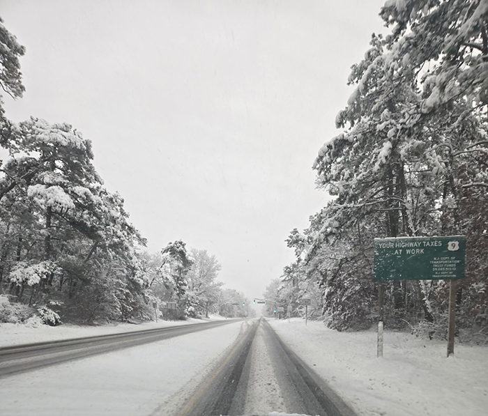
JERSEY SHORE – A fast-moving winter system swept across the Jersey Shore early Sunday, coating neighborhoods in snow and delivering some of the season’s highest totals in Ocean and Monmouth counties.
Snow began falling late Saturday night and intensified before dawn, creating slick roads and a winter scene by morning. While the storm moved out quickly, several communities reported more than half a foot of accumulation by early afternoon, according to preliminary reports from the National Weather Service. Power problems plagued the area but JCP&L had the situation under control with restoration in most places by the evening.
Ocean County recorded some of the highest totals along the Jersey Shore. Whiting led the county with 8.2 inches, followed closely by Toms River with 8.1 inches. Brick reported 7.1 inches, while Jackson measured 6.8 inches. Coastal areas generally saw lower totals, with Point Pleasant at 6.4 inches and Lavallette at 5.1 inches. Farther south, Barnegat Township recorded 4.6 inches, Berkeley Township had 3.1 inches, Stafford Township reported 2.5 inches, and Lacey Township measured 2 inches.
In Monmouth County, several inland communities also saw significant snowfall. Colts Neck and Tinton Falls topped the county with 8.3 inches each. Ocean Township and Strathmore followed at 7.5 inches, while Freehold reported 7.1 inches and Manalapan Township measured 7 inches. Snow totals tapered closer to the coast, with Long Branch reporting 5 inches, Little Silver 4.8 inches, and Red Bank 3.6 inches. Neptune City recorded 2.5 inches.
Forecasters said the system, often referred to as a “clipper,” moved quickly through the region, limiting the duration of snowfall but producing steady accumulation while it lasted. Snowfall totals remained preliminary as of Sunday afternoon.


