

OCEAN COUNTY – Significant changes will happen on the Garden State Parkway between miles 80 and 83 as exits are renumbered and lanes and offramps are altered.
The New Jersey Turnpike Authority, which also oversees the Parkway, put out the plan, asking for feedback from drivers.
One of the biggest changes is that there will be a “Collector-Distributor roadway.” This is a few lanes in each direction, separated from the rest of the Parkway by a median. Drivers getting onto the Parkway will first be on this Collector-Distributor until either they get off at another Toms River stop or go on to the rest of the Parkway.
Between 81 and 82, there will be new roadways added, separated from the main Parkway by a concrete median. If you’re heading north, there will be a through lane and an auxiliary lane (for getting on and off). If you’re heading south, there will be two through lanes and an auxiliary lane.
Officials said that local traffic needs to have a separate roadway from the mainline of the Garden State Parkway. This is a heavily traveled area, and the goal is to give more room for cars. With the interchanges stacked up pretty closely together, there’s not enough room for drivers to get out of each other’s ways.
Other parts of the project include the rehabilitation or replacement of 11 bridges, replacement of guide rails, and upgrades to signing, striping and lighting. Shoulder widths would be widened (in some cases, they are non-existent). Utilities would need to be relocated.
The plan includes 23 basins and nine manufactured treatment devices to manage stormwater runoff.
Development
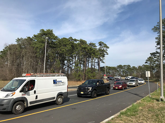
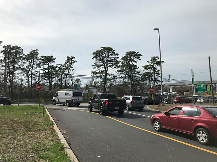
There are an above average number of crashes in these miles compared to other spots on the road, the Authority said. This part of the road was originally constructed in the 1950s, and is not made to take the kind of traffic it sees now.
There will also be more construction projects that will bring even more cars. One of them that the Authority cited was the redevelopment of downtown Toms River, with proposed apartment towers. There’s also the rerouting of traffic downtown that’s being considered.
Another big project is a multi-use condo complex in South Toms River.
Changing Exit Numbers
The standard in numbering exits is that if they are part of a single exit, they will be assigned the same number. Therefore, 81, 82, and 82A will now be 82A, 82B and 82C. That’s because these will all be accessed from the Collector-Distributor.
Exit 80 Changes
If you’re heading north on the Parkway, there will be a new exit that will bring you to Route 9 south. In this case, we’re not talking about Route 166 or Atlantic City Boulevard or whatever it is called through Beachwood and South Toms River. We’re talking about that long road with no driveways on it that hits several lights before it joins what we commonly call Route 9. This is the road that gets backed up with traffic from Parkway south every rush hour and now traffic from Parkway north will also be routed to here.
If you’re heading the other way, onto Parkway north, you currently have two lanes which combine into one after the light at Route 530/Dover Road. The new plan would have those two lanes both continue as auxiliary lanes. They will lead to the Collector-Distributor roadway and to the rest of the Parkway.
Also near this intersection, Dover Road westbound will be widened under the Parkway to accommodate two lanes. The idea is that the light before going onto the Parkway would stay green longer because cars going west wouldn’t need as much time to go through.
A new southbound entrance ramp will be created from Double Trouble Road to Parkway south.
If you’re driving west on Dover, you would take the jughandle at Railroad Avenue then make a left to travel south on the Parkway.
A lot of people in this area trying to go south on the Parkway just take Double Trouble to interchange 77. This would provide an alternative. It would likely be more popular for people leaving South Toms River (and the new development) and Manitou Park and would prevent adding traffic on local roads.
A new traffic light will be built at Double Trouble Road at the existing ramp with a designated left-turn lane. It will be coordinated with the traffic light that already exists at 530 so that traffic can flow through them both.
Currently, the off ramp at exit 80 is dangerous. There is a designated right turn lane that people new to the area don’t realize is there right away. Then, the rest of the exit opens into a spot where you can go left or right, but there’s not much room to make a decision if you’re not experienced with it. Then, making a left out of there is difficult because a truck sitting at the light can block your view of oncoming cars. Making a right is tricky, too, because Double Trouble is a bit higher on your left so you can’t see cars coming.
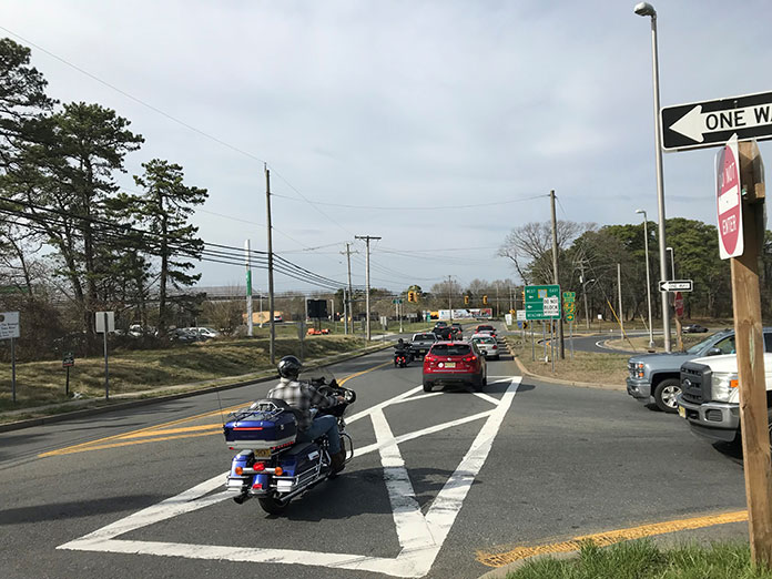
Sometimes cars line up so long at this exit that they are stopped on the Parkway. This new traffic signal will detect cars and will turn green if the line gets long.
Interchange 81
Interchange 81 will be called Interchange 82A. The Collector-Distributor roadways will have access to this.
Heading north, the exit ramp will be redesigned and will link with the proposed roundabout in downtown Toms River. The roundabout (fancy word for circle) is proposed to be at Highland Parkway, Lakehurst Road, and Water Street.
If you’re leaving Toms River and heading north, the traffic pattern won’t change on the ramp itself. The only change is that you will get onto the Collector-Distributor. From there, you would be able to either get off at 82B or the rest of Parkway north.
The bridge going over the Parkway at Lakehurst Road will be replaced. The new one will be constructed slightly to the north of the current bridge. That way, people will use the old one until the new one is ready. Then, the new one will open up and the old one will be demolished.
Heading south from downtown, the entrance ramp to the Parkway will be enhanced to meet the standards of other entrances but the traffic flow won’t change.
Heading south on the Parkway, your exit will be at a different spot. You’ll get off north of Lakehurst Road and the exit ramp will cut through the woods and come to the traffic light at Lakehurst Road.
The Park and Ride will be reconfigured but the number of parking spaces will remain the same.
Interchange 82
Interchange 82 and 82A will be called 82B and C. It will still remain as a cloverleaf. However the entrances and exits will be improved and updated to modern design standards.
They will connect to and from the Collector-Distributor roadway. Weaving lengths along this stretch and Route 37 will either be the same or be lengthened.
Interchange 83
At Interchange 83, the Authority is working with engineers working for Ocean County for a new southbound exit ramp to Indian Head Road.
Between 82 and 83, there will be a fourth lane as well as a widening of the roadway to create standard shoulders on both sides.
Neighboring Land Impacted
The Authority wants to acquire about 15 acres for these changes. Of these, 8.81 acres are “partial fee acquisitions,” however 7.3 of these acres are publicly owned. Only .08 acres of residential property is proposed to be bought at Interchange 80.
Concrete barriers are expected to minimize the impact to local properties since the lanes are going to widen, encroaching on neighbors.
Recently, residents of Evergreen Woods in Brick have complained that after the construction several years ago, the lack of trees has created a constant drone of noise that is sometimes extremely loud.
Timeline
Given the scope of the work and the number of applications that need to be made, this project will be years before completion. Construction is expected to begin in late 2025 and will take about four years.
There are several approvals that would be needed before the project starts. Included is the New Jersey State Historic Preservation Office since the Parkway is a “historic district.”
The project is going through wetlands, flood hazards, and riparian zones. It’s also subject to the Coastal Area Facility Review Act, which means the State Department of Environmental Protection has to do a thorough and notoriously lengthy review.
Other environmental approvals will be needed from the NJ Pinelands Commission and the Ocean County Soil Conservation District.
Comments Welcome
The Authority is open to suggestions or comments via email to GSP80to83@njta.com. Written comments should be submitted to: New Jersey Turnpike Authority; Engineering Department; P.O. Box 5042, Woodbridge, NJ 07095-5042; Attn: Vincent Mignella, PE, Project Engineer


