

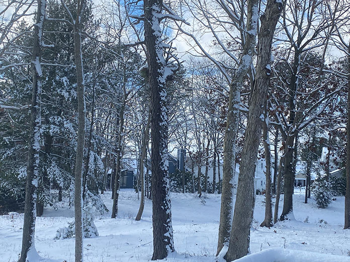
SOUTHERN OCEAN – New Jersey’s first snowstorm hit the state soon after the start of 2022 with double-digit accumulations in southern areas.
Little Egg Harbor received the most snow in Ocean County, with 13.2 inches on a day that followed temperature readings of over 60 degrees. Road conditions snarled traffic in Washington, D.C., while snowfall amounted to over nine inches in parts of North Carolina. Wintery weather even struck as far south as Birmingham, Alabama.
The first week of January ended with another snowstorm that resulted in Governor Phil Murphy calling for a state of emergency. That weather event happened a week ago Friday and impacted northern parts of New Jersey as well.
Some consider it unusual that snow fell as heavily as it did on January 3, and only impacted the southern portion of the state. That said, was it really such an anomaly?
Locals may recall that blizzard conditions represented the start of 2018 on virtually the same date. The entire state saw some degree of snowfall, with all of Ocean County hit hardest with at least a foot of accumulation in each of its municipalities.
Dr. David A. Robinson, professor and NJ State Climatologist at Rutgers University offered his expert opinion on the snow’s first landing in New Jersey. Robinson said that climate change wasn’t the cause of this, but it might impact things in the future.
“This was a weather event,” explained Robinson. “These storms have happened in the past, and even in a warming world, they are going to happen into the future.”
According to Robinson, eventually a storm like the one that occurred on January 3 will come in and it won’t be able to produce temperatures below the freezing point. The result will be a rainstorm.
“We’re not closing the door on snow,” Robinson shared. “Even though we know that New Jersey is warming quite a bit.”
Robinson said that the polar vortex has been “pretty well behaved” most of this winter thus far. The weather pattern in the east has been rather tranquil with the jetstream staying north and allowing mild air to come up to New Jersey. This kept the cold air out west and up in the arctic. When the cold air came down, it bypassed North Jersey and pushed the storm south.
“The jetstream curved some, and with that a storm formed along it,” explained Robinson. “It shot through the mid-Atlantic and out to sea. It was a perfect recipe for Ocean County, south.”
“Some may say the fact that the snow fell at such a heavy rate may be tantamount to when it rains, it pours,” Robinson continued. “When you get a storm forming, it’s often loaded with lots of moisture and can cripple areas pretty quickly.”
“NorEaster” Meteorologist Nick Pittman offered some insight as to what determines the different types of precipitation during the winter months.
“They’re obviously determined by how cold or warm the air is,” shared Pittman. “To be more specific, where the layer of air is located in the atmosphere has big implications as to what happens at the surface.”
Pittman explained that when the layer of warm air is slightly shallower and there is cold air at the surface and the ground is below freezing, the snowflakes melt into rain. They then freeze on contact with the ground.
Sleet happens when a shallow layer of warm air moves in and melts the snowflakes. When enough cold air is available above the ground, the rain refreezes into ice.
“Snow obviously happens when there is no warm layer,” summed up Pittman.
Texas residents got caught by surprise last year when they experienced snowy conditions in February. Experts attributed those weather events to a pronounced polar vortex break, something Robinson doesn’t see signs of for this year.
The 2022 Old Farmer’s Almanac boasts eight percent accuracy when it comes to weather forecasts. They predict a “season of shivers” throughout the country and highlight New Jersey as up for some “cold and snowy” weather.
Pittman’s analysis of what’s to come for the season suggests Southern Ocean County has a good chance of seeing what he says are called Miller A storms.
“These are classic nor’easters that come up from the Gulf of Mexico,” Pittman explained. “We haven’t had a true Miller A for several years. The storm on January was the first example of what can happen in this pattern.
“Going forward, I expect more snowstorms,” continued Pittman. “It will be a long winter. Southern Ocean County, in this pattern, which is similar to 1996, could end up in the 20-25” range by March.”


