By Bob Vosseller
NEW JERSEY – Tornadoes are in the forecast once again – along with more rainfall.
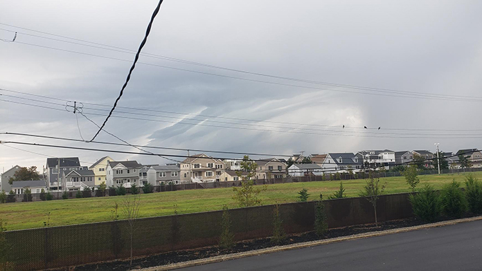
The National Weather Service issued a tornado watch for 15 New Jersey counties this afternoon along with expectations of thunderstorms, more rainfall, and gusty winds.
The National Weather Service’s forecast calls for more severe thunderstorms and heavy rain to continue through Thursday morning. The current storm system is connected to what is left of Hurricane Ida, which pounded areas of the south earlier this week.
A representative of the National Weather Service warned that the threat of thunderstorms that occur would be “tornadoes and damaging wind gusts.”
The tornado watch was issued for Ocean and Monmouth counties until 10 p.m. The total list includes:
- Atlantic
- Cape May
- Hunterdon
- Monmouth
- Salem
- Warren
- Burlington
- Cumberland
- Mercer
- Morris
- Somerset
- Camden
- Gloucester
- Middlesex
- Ocean
A tornado watch is issued when conditions are favorable for severe thunderstorms capable of producing tornadoes.
Another concern of the National Weather Service is flooding. The rain, currently in eastern Pennsylvania, is moving its way into New Jersey in the hours to come. Therefore, the agency issued flood watches for the entire state.
There are predictions that three to six inches of rain will fall across New Jersey, with northern parts of the state – including Hunterdon, Morris, Somerset and Warren counties – expected to see higher rainfall totals.
Flash floods could be a problem and a flash flood watch is in effect until 8 a.m. tomorrow for most counties. That watch has been extended to 2 p.m. Thursday for Bergen, Essex, Hudson, Union and Passaic counties.
Governor Phil Murphy reported earlier today that “many communities are still waterlogged from last week’s storm so Ida is going to be dropping water on already-saturated ground, heightening the threat of flash flooding.”
The governor added during a press conference today that “winds may gust in some places up to 30 or 35 miles per hour. Please God, don’t let them get too high, because when you combine a lot of rain and soggy ground, trees are going to be looser and there could be significant tree and power line damage.”
It was noted that areas of flash flooding are prevalent near rivers, streams and areas that have poor drainage systems.
It is very probable that water will cover streets in areas of the state when Ida passes, with flooding expected in low lying areas.


